







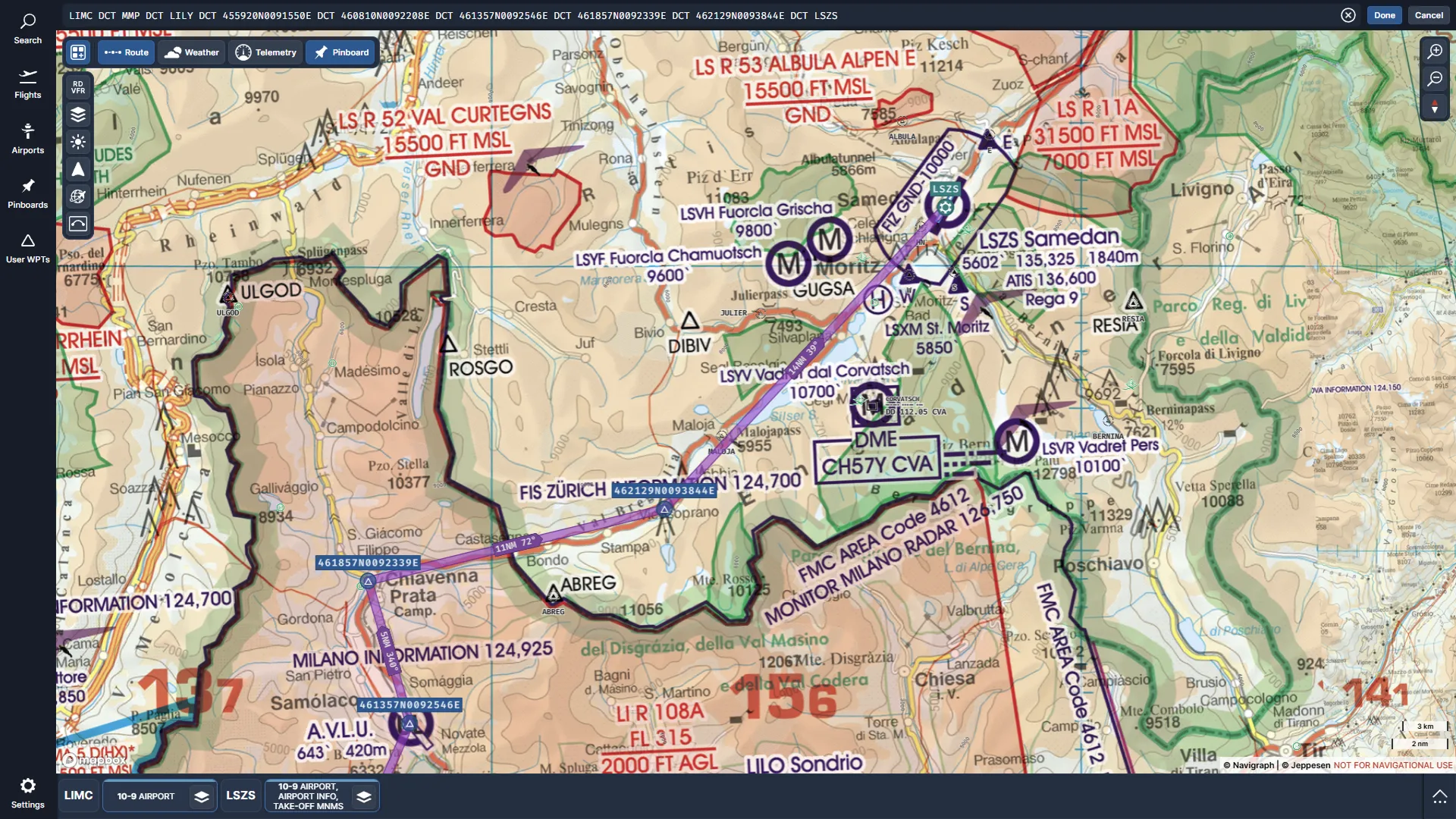
Navigraph has expanded its Charts platform with the introduction of Rogers Data’s official VFR charts, providing complete visual-flight coverage across Europe. The update, available this week, brings a unified ICAO-style map layer covering the entire continent and marks Navigraph’s first integration of a Europe-wide VFR dataset.
The addition of European VFR charts was first revealed during FlightSimExpo 2025 back in June, when Navigraph announced a partnership with Rogers Data among a set of forthcoming features. At the time, developers said integration was underway and committed to offering the new charts at no extra cost to unlimited subscribers.
Rogers Data, an Austrian chart provider used by flight schools, aviation clubs, and private pilots, publishes sectional ICAO charts recognized for clear airspace depiction and detailed topography. Navigraph says this material is now available directly inside the Charts app as a dedicated map preset.
A single VFR layer for Europe
VFR flying in Europe often relies on collecting charts from several national sources. According to Navigraph, the new Rogers Data layer consolidates that material into one view across national boundaries. The initial release includes:
- Full European coverage based on Rogers Data’s ICAO charts
- Integrated airspace classifications and obstacle information
- Terrain shading and topographic detail
- Activation through the Map Presets menu
- A harmonized design that retains consistent readability across regions
Navigraph states that this unification should help users plan visual routes with fewer reference gaps, especially when transitioning between national FIRs.
The Rogers VFR layer includes Europe-wide terrain depiction and airspace structure. Navigraph notes that the material is presented in a familiar format for those who already use the company’s U.S. FAA VFR layer or the base map. App navigation is unchanged; users select the Rogers option in Map Presets and the view updates instantly.
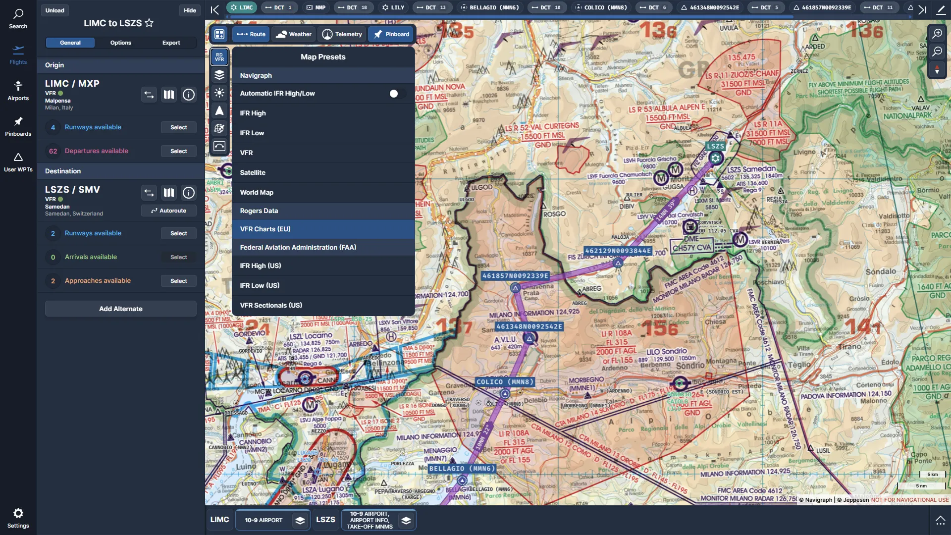
A big upgrade for European general aviation simmers
The availability of continent-wide VFR charts represents a very meaningful addition for general aviation pilots who rely on Navigraph for planning and in-flight reference. Instead of acquiring country-specific material individually, users can now access a uniform European dataset inside the existing app.
Navigraph’s announcement and supporting blog post provide further examples, including a complete route string for the Milan-to-Samedan demonstration.
The Rogers VFR charts are available to all Navigraph Unlimited subscribers (around €9.05 per month or €81.64 per year, plus tax) inside the Navigraph Charts app. No separate purchase is required. The charts are included across all supported platforms where Navigraph Charts runs, including desktop, browser, and tablet versions.