






Navigraph took the stage at FlightSimExpo 2025 in Providence to showcase not one, but three major feature updates coming to its ecosystem. The Navigraph team, led by CEO Magnus Axholt, outlined a clear focus on how Navigraph continues to evolve in response to community feedback.
European VFR charts are coming
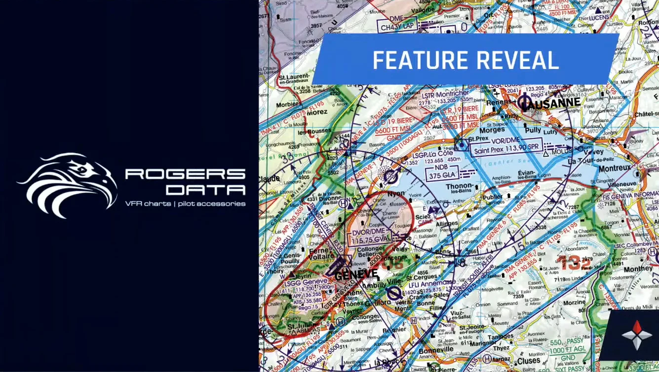
The first big announcement is the addition of official VFR charts for Europe. Navigraph has partnered with Rogers Data, an Austrian provider of real-world sectional charts widely used by private pilots, flight schools, and even some aviation authorities for exams. This new addition will cover the entire European continent.
These charts will be integrated directly into Navigraph Charts at no extra cost for unlimited subscribers. According to the team, integration work is already underway, though there is no confirmed release date yet.
Taxiway routing: no more getting lost at busy airports
The second announcement tackles an issue that any online pilot has likely experienced — confusing taxi instructions and unclear airport layouts.

Navigraph is introducing a new taxiway routing feature for its Charts app. Users will soon be able to plot detailed taxi routes between gates, runways, and intersections, with several helpful features designed to reduce workload during ground operations.
The system offers:
- Auto-routing for simple point-to-point guidance.
- Manual route building with the ability to select specific taxiways and holding points.
- Incremental routing, ideal for scenarios like progressive taxi instructions.
- Visual alerts, with cleared sections highlighted in green, pending holds in red, and deviations marked with dashed lines.
- Hotspot awareness, including alerts for areas prone to runway incursions.
- Stand information, showing gate details such as jetway availability, fuel type, and towing capabilities.
For pilots connected via Simlink, the app will display their aircraft position on the chart with real-time route tracking and turn-by-turn distance guidance.
This system is designed not only for offline use but also with VATSIM and other online networks in mind. It respects directional taxiway restrictions, such as those at Schiphol, and the developers hinted at future enhancements, including aural warnings and de-icing route support.
Simlink V2: live traffic from your own simulator (and more)
The third feature announcement is Simlink V2, a major update to Navigraph’s positioning tool that expands beyond just tracking your own aircraft.

Simlink V2 will allow users to inject live AI or multiplayer traffic from their simulator directly into Navigraph Charts, displaying aircraft movements in real time on the airport map. This update addresses the long-requested ability to visualize ground and air traffic, whether flying offline with AI or on networks like VATSIM.
Simlink V2 supports Microsoft Flight Simulator, X-Plane, and Prepar3D. It also offers hooks for third-party tools to inject data. Navigraph demonstrated this with BeyondATC providing detailed traffic information, including aircraft types and flight plans.
The update increases refresh rates significantly, transforming Navigraph Charts into what the team jokingly described as a “dashcam” view of the airport if users desire that level of detail.
When will these features arrive?
No firm release dates were provided, but the team stated that all these features are currently in active development. The VFR charts for Europe are the furthest along in terms of backend integration. Taxiway routing and Simlink V2 are both functional in internal builds but still have features to be refined based on community feedback.