Navigraph previews IFR features in its upcoming Charts 8 app


Last month we had the opportunity to see a few very cool VFR features that the Navigraph team is planning to introduce in the upcoming Charts 8 app. Those include new types of charts with visual reporting points, patterns, transition routes, zones to avoid, and more, along with new data layers like roads, railroads, obstacles, and so on.
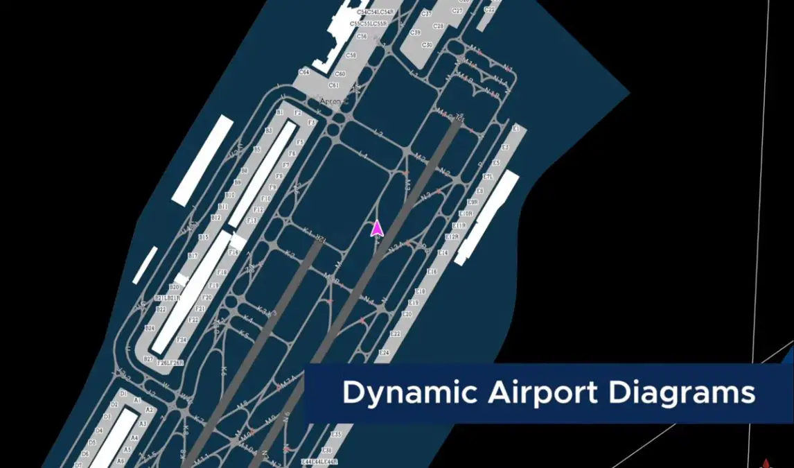
Leading up to the eventual release of Charts 8, Navigraph continues to provide us with some sneak peeks into the exciting functionality that will soon become available to subscribers to the service. This week we got to see how Charts 8 will help pilots plan their IFR flights from the initial stages of the flight all the way to the gate in the destination airport.
A key new feature coming with Charts 8 is vector charts. This technology essentially enables infinite levels of zoom with no quality degradation, which means pilots can have a distant view over a chart for broader situational awareness, or zoom all the way in to the gate and taxiways for an up-close understanding of the aircraft’s precise position.

Another convenient feature that simmers will appreciate will be the automatic pinning of charts. When selecting the desired arrival and departure procedures (Charts 8 will have a robust set of tools to select and visualize SIDs and STARs), charts will be automatically pinned for easier access as needed.
Navigraph shared a short video showcasing these and other IFR features coming with Charts 8. Watch it below to get an idea of the variety and usefulness of these features, which will surely make life easier and more involving for pilots flying under IFR!
Navigraph doesn’t provide a release date for Charts 8 yet, but it shouldn’t take too long now. However, the team is already planning for the development roadmap after the release, where we should expect additional features such as weather layers, external network traffic visualization, annotations, and more.